Building the 15-Minute City: An Optimization Problem Disguised as Urban Design
The 15-minute city — where daily needs are reachable within a short walk or ride — is as much a constraint-satisfaction problem as an urban design vision. Getting there means treating infrastructure, green space, and equity as variables in the same model.
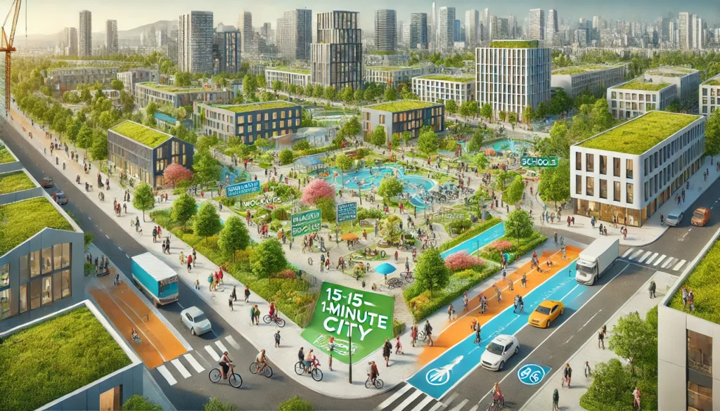
The 15-minute city model — where work, education, healthcare, and recreation are reachable within a short walk or bike ride — has moved from urbanist concept to a working planning target for cities seeking to cut congestion, emissions, and car dependency simultaneously. The appeal is intuitive. The difficulty is that it touches every layer of a city's operation at once: street geometry, land use, green infrastructure, and social equity all have to move together, or gains in one dimension simply displace costs into another.
That interdependency is what makes the 15-minute city less a design style than a constraint-satisfaction problem — one where machine learning and prescriptive analytics are increasingly used to find layouts and resource allocations that satisfy multiple objectives at once, rather than optimizing one dimension and hoping the rest follow.
§ 02Infrastructure as a routing and allocation problem
Traffic and pedestrian-flow models built from historic and real-time movement data can identify where street space is being used inefficiently — and, more usefully, where reallocating it (a traffic lane converted to a protected bike lane, for instance) would shift the most trips to active modes without degrading throughput elsewhere. The output is not a single redesign but a ranked set of interventions, each with an estimated effect on accessibility and traffic that adapts as conditions change.
§ 03Green space as a spatial optimization target
Urban heat, air quality, and biodiversity data can be modelled at the scale of individual blocks, which makes it possible to rank candidate sites for green corridors, urban forest, or vertical greening by expected impact rather than available land. The same spatial models that allocate housing, schools, and clinics within a 15-minute radius can incorporate green infrastructure as a competing land use — surfacing the trade-offs explicitly rather than treating green space as whatever is left over.
§ 04Equity as a constraint, not an afterthought
The risk in any 15-minute city programme is that the neighbourhoods best positioned to benefit are the ones that were already well served — while underserved areas, lacking the density or tax base to attract services organically, fall further behind. Treating accessibility equity as an explicit constraint in the allocation model, alongside budget and land-use limits, changes which interventions rank highest: it shifts investment toward the areas where a marginal unit of infrastructure spend closes the largest accessibility gap, rather than the area where it is easiest to spend.
The cities furthest along with 15-minute city programmes are not necessarily the ones with the most ambitious headline targets, but the ones that have built the data and modelling infrastructure to evaluate trade-offs across infrastructure, environment, mobility, and equity as a single connected system.