Drone Fleet Delivery in Urban Cores: Airspace Corridors, Battery Swap Routing, and Weather Constraints
Urban aerial package delivery is not just an aviation problem — it is an extended Vehicle Routing Problem (VRP) with dynamic airspace corridors, automated battery swapping, and micro-climate wind constraints.

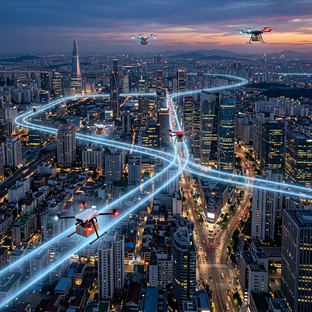
Commercial drone delivery in dense urban centers presents severe spatial and energy constraints. Unlike ground delivery vans that operate on road networks with static speed limits, autonomous aerial vehicles operate in three-dimensional airspace subject to localized wind gusts, low-altitude flight corridors, and strict battery discharge curves.
To achieve commercial viability, drone dispatch algorithms must solve an integrated location-routing problem: optimizing flight paths along designated quiet corridors while dynamically scheduling automated battery swap stations to maximize flight uptime.
Urban aerial package delivery is not just an aviation problem — it is an extended Vehicle Routing Problem (VRP) with dynamic airspace corridors, automated battery swapping, and micro-climate wind constraints.
§ 02Co-Optimizing Flight Paths and Energy Replenishment
Battery degradation and payload weight dynamically alter a drone's energy consumption per kilometer. A payload delivered into headwind requires up to 45% more energy than a return flight in tailwind. Modern routing algorithms continuously update energy cost matrices based on real-time micro-weather telemetry.
By incorporating automated battery-swapping hubs into the routing graph, fleet managers can double the daily delivery radius of each drone while guaranteeing safe landing reserves under all wind conditions.