Resolving a zoning conflict between conservation targets and fishing grounds
Multi-objective spatial planning for designing Marine Protected Areas that balance biodiversity, connectivity, and stakeholder impact
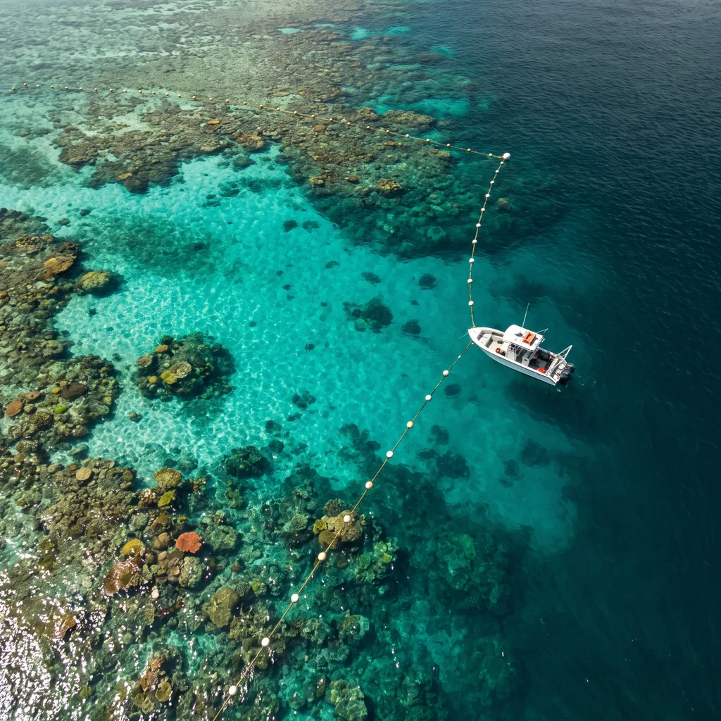
These figures match the published metrics on the Predictim MSP-DSS product page — this walkthrough is a composite scenario, not a specific engagement.
Multi-objective spatial planning for designing Marine Protected Areas that balance biodiversity, connectivity, and stakeholder impact
Segment: Marine protected area zoning
Designing a Marine Protected Area means satisfying several conflicting goals at once: biodiversity representation, ecological connectivity, a habitat-protection mandate often set at 30%, and the economic impact on local fisheries and shipping. Drawing zones by hand against static reef and fishing-effort maps makes it hard to see the actual trade-off a given boundary implies, and NGOs, fisheries, and government agencies typically arrive with conflicting priorities and no shared way to evaluate a proposal quickly.
How the deployment was structured
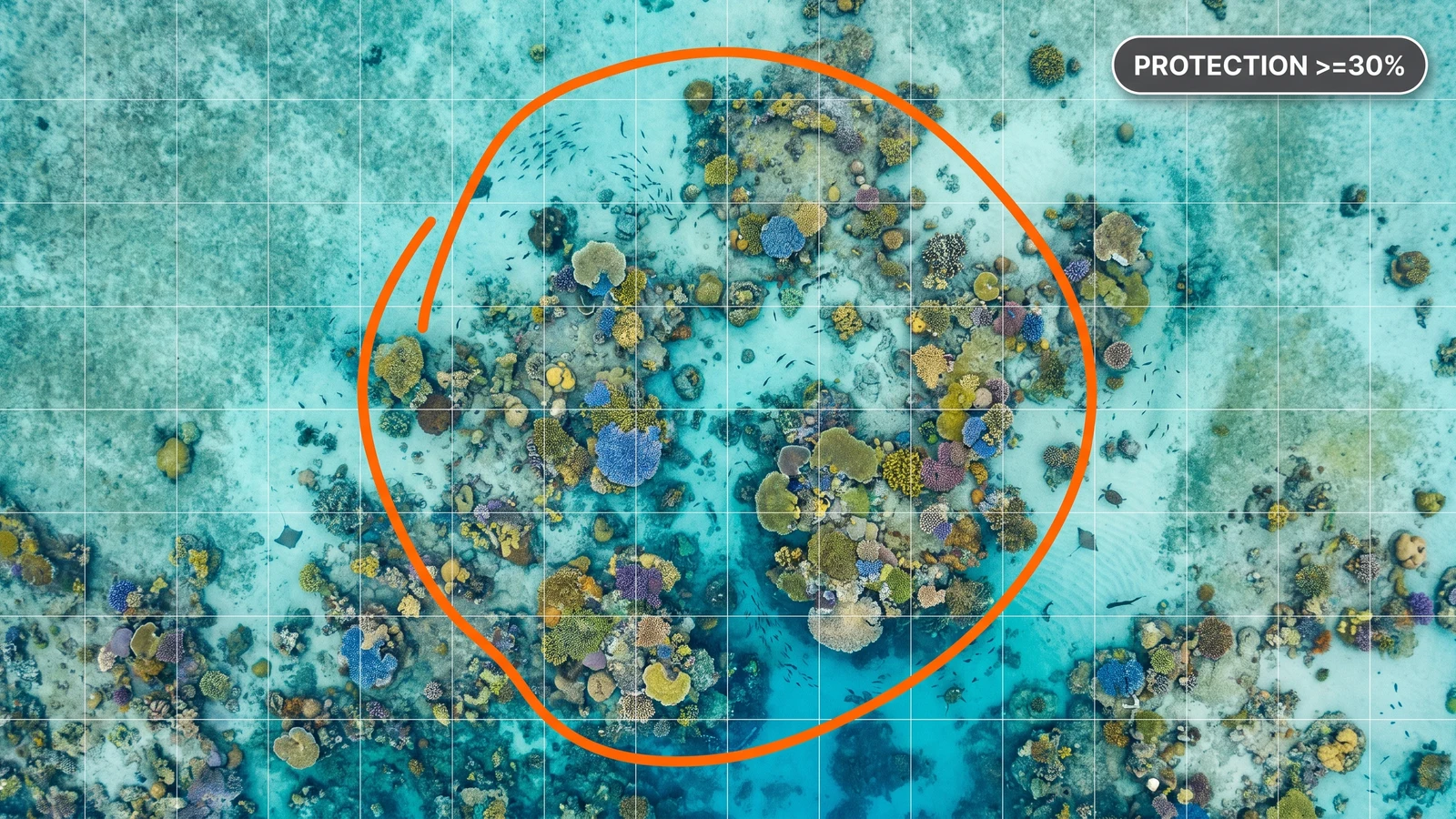
One grid, every layer
A planning grid of up to 125,000 cells overlays coral reef distributions, seagrass meadows, fishing effort, and shipping lanes, so the ecological impact of a zone selection is visible immediately, not modelled separately.
Four objectives, optimised together
Biodiversity representation, ecological connectivity, habitat-protection targets, and economic cost to stakeholders are optimised simultaneously, not traded off one at a time.
A trade-off frontier stakeholders can click through
A Pareto plot shows the full conservation-revenue frontier; clicking any point loads the corresponding MPA map instantly, so a negotiation can move point by point instead of proposal by proposal.
Sanctuaries that stay enforceable
Spatial contiguity penalties favour consolidated, rounder sanctuaries over fragmented zones — boundaries that are actually easier to monitor and police once agreed.
Letting every stakeholder click through the same trade-off frontier — instead of defending one fixed proposal — is what turns an MPA negotiation into a shared, navigable decision instead of a standoff.
Other use cases
All use cases
Turning “off sick tonight” into an updated nurse roster
View
Re-planning routes from what drivers actually report
View
A cost contingency you can defend when the risk assessments disagree
ViewReady to optimize your operations?
Talk to our research team about your operational challenge. Receive a tailored technical proposal within 72 hours.